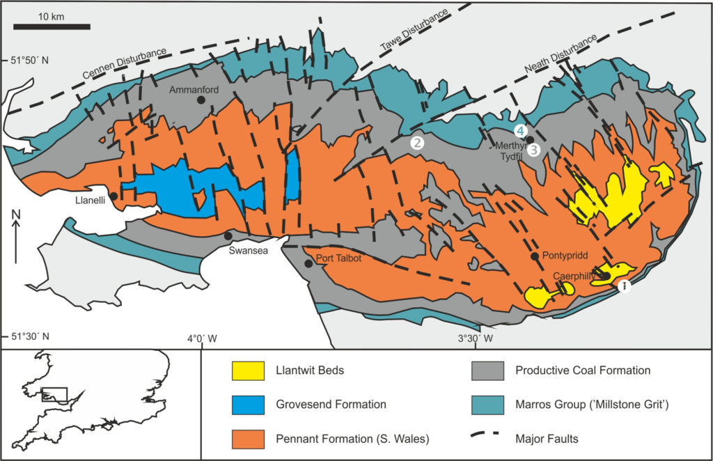
Since 2006, the British Institute for Geological Conservation (BIGC) has been developing and interpreting geological sites within the coalfield. In a bid to ensure sustainability and longevity of the work, each project has been developed in collaboration with the local communities. This community based approach has allowed us to raise the profile of geoheritage sites, and provide enhanced protection and management for some of the most important and vulnerable sites.

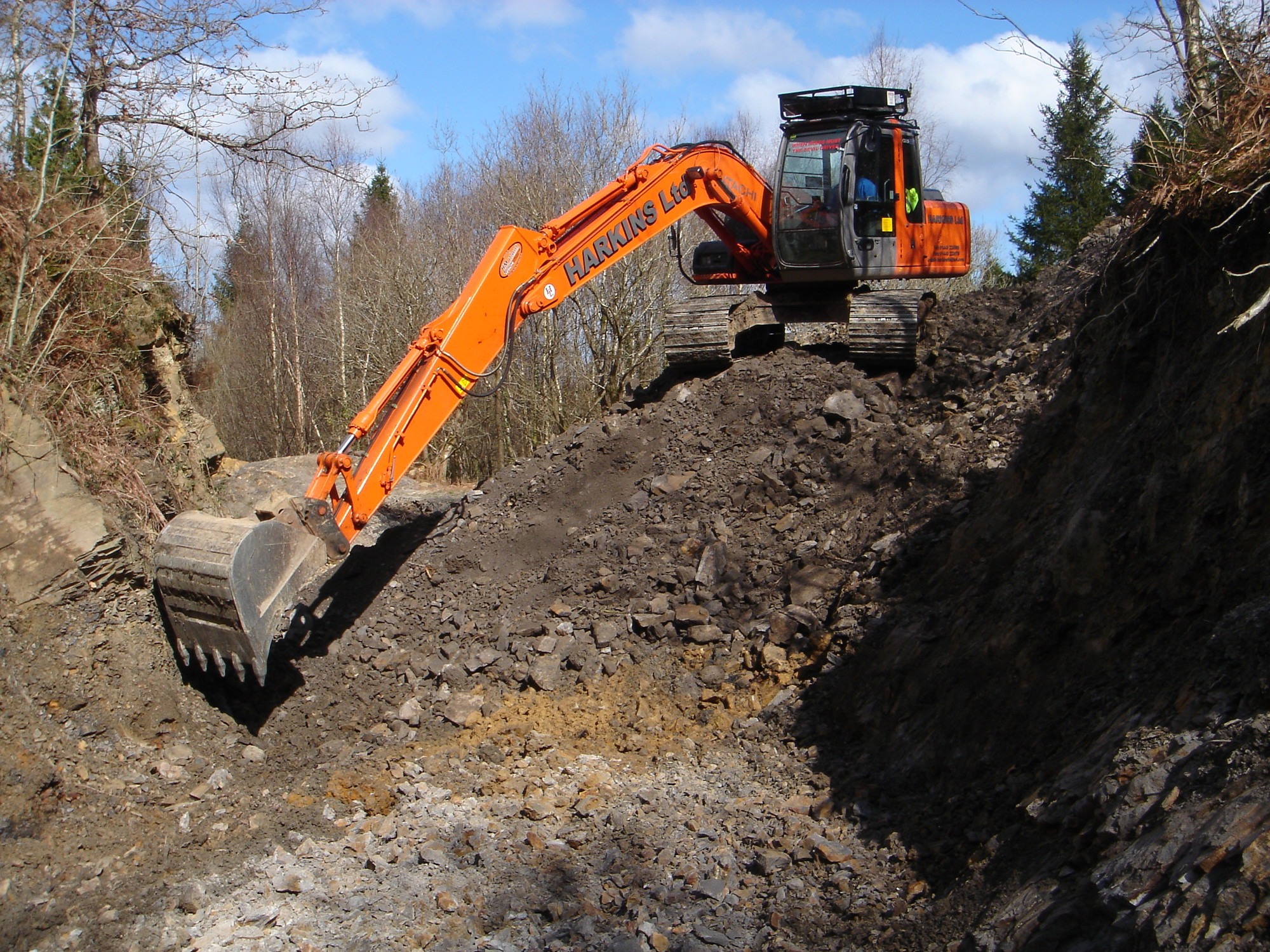
- Access to the sites has been improved by developing better paths and signage, and cleaning the exposures.
- Interpretation of the geology has been developed using bilingual (Welsh and English) explanation boards, audio trails and pamphlets.
- We have pioneered low-impact, augmented-reality based mobile digital interpretation of sites
- Wildlife and archaeological interests have also been interpreted to expand the potential audience.
- Links have been established with local schools, who have been given educational materials to help teachers use the sites as outdoor classroom.
- Information has been circulated to other tourism venues in the area to encourage visitors from outside South Wales.
- Involvement of the local communities has been a central part of both design and delivery of the projects.
There are currently five main projects within the coalfield:
- Wern Ddu
- Cwm Gwrelych
- Cyfarthfa Castle Carboniferous Garden
- Taf Fechan digital geology trail
- Ffos-y-fran
For more information see:
Evans, B. G., Cleal, C. J. & Thomas, B. A. 2017. Geotourism in an industrial setting: the South Wales Coalfield Geoheritage Network. Geoheritage. DOI 10.1007/s12371-017-0226-3.
